
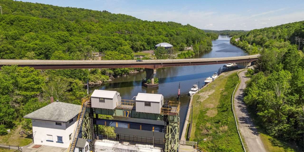
As part of the New York State Canal Corporation’s movable dam inspection and engineering evaluation program, please be aware that NYS Canal Corporation and their engineering consultant, Schnabel Engineering, will be conducting bathymetric surveys using boats and unmanned surface vehicles (USV) to collect riverbed depth data along the Mohawk River.
The data collected will be used by NYS Canal Corporation to aid planning for additional inspections and survey collection. Bathymetric surveys will be performed along the Mohawk River and at select movable dam structures in the following areas between October 20, 2025 and December 19, 2025:
Area 1: Rotterdam Junction, Wyatts, Scotia, Rexford, Dunesbach Ferry,
Halfmoon, Cohoes, Waterford
Area 2: Canajoharie, Yosts, Fonda/Fultonville, Auriesville, Tribes Hill, Fort
Johnson, Amsterdam, Pattersonville
Area 3: Frankfort, Mohawk, Herkimer, Jacksonburg, Little Falls, Mindenville St. Johnsville, Sand Hill
Area 4: Utica, Marcy, Rome, Stacy Basin, Sylvan Beach
Area 5: Ridge Mills, Rome
Community members may notice crew members wearing high-visibility vests and operating a boat and an USV in the Mohawk River and along its shorelines. Crews will do their best to minimize any disruption to waterway navigation.
PLEASE NOTE: THIS ROUTINE WORK IS NOT A PART OF THE EARTHEN EMBANKMENT INTEGRITY PROGRAM
Please direct any questions to Georgia Wohnsen, Manager, Government and Community Relations at (518) 801-6717 or via email at: Georgia.Wohnsen@canals.ny.gov
For more information, including updated schedules, please visit https://www.nyscanalintegrity.org/
Discover more from The Daily Post
Subscribe to get the latest posts sent to your email.
